
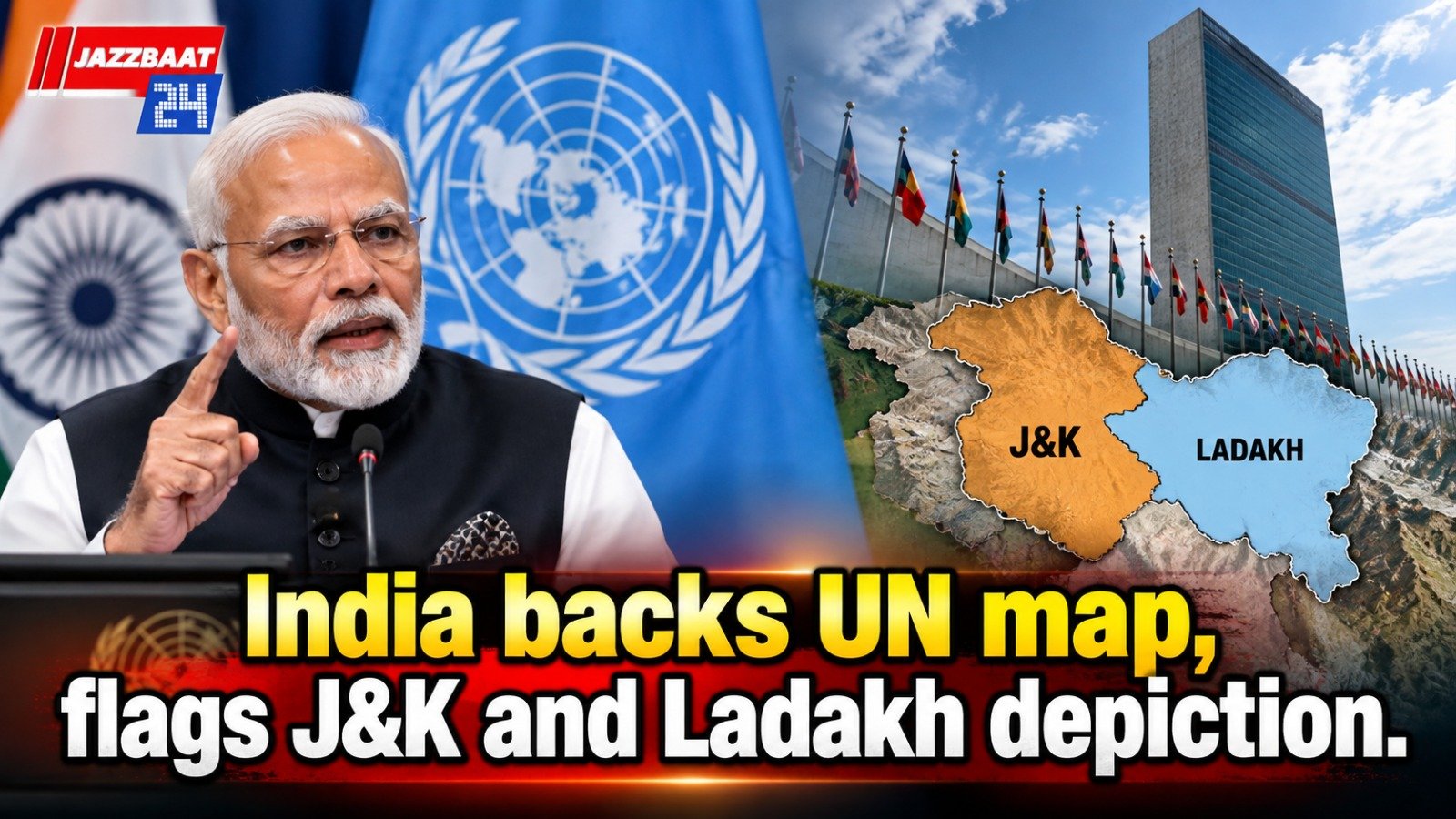
India has backed a United Nations resolution supporting the use of the “Equal Earth” map, while making it clear that the country’s territorial boundaries, particularly those of Jammu and Kashmir and Ladakh, must be shown accurately.
The Ministry of External Affairs (MEA) issued a clarification on Sunday after the United Nations General Assembly voted in favour of a resolution led by several African countries to promote a more balanced representation of the world’s continents.
MEA spokesperson Randhir Jaiswal said India voted for the resolution because it supported the broader principle of promoting equal-area cartographic representation. However, he stressed that the vote should not be interpreted as India endorsing any particular map, projection or depiction of national boundaries.
“India’s sovereign territory, including the Union Territories of Jammu and Kashmir and Ladakh, must be depicted in accordance with India’s official map,” the MEA said. It added that any inaccurate or misleading depiction would not be acceptable.
Jaiswal further reiterated that India’s position on its sovereignty and territorial integrity remains “clear, consistent and non-negotiable.”
The UN General Assembly adopted the resolution on Friday with the backing of 164 countries. The United States voted against it, while six countries abstained. The resolution promotes the Equal Earth cartographic projection as an option for improving the accuracy of how the world’s landmasses are represented.
The move has been strongly supported by African countries, which have long criticised the widely used Mercator projection for distorting the relative size of continents. Under the Mercator map, regions closer to the poles appear significantly larger than their actual size.
Africa, for example, is much larger than its appearance on the traditional Mercator projection suggests. Its actual landmass is around 14 times the size of Greenland, despite the two appearing relatively similar in size on the commonly used map.
The Equal Earth projection was developed in 2018 to provide a more accurate representation of continental areas. In February 2026, all 54 African Union member states adopted the projection, citing its ability to represent the size of continents more fairly.
The resolution was introduced at the UN by Togo with the backing of African Union countries. Togo’s Foreign Minister Robert Dussey argued that changing a map does not change the world, but correcting distorted representations can make global understanding more accurate.
India’s support for the resolution comes alongside its firm warning that any new global map must respect the country’s official territorial boundaries.



Reader Comments 0